In his latest book, Crusader Storm, Dr Nic Morton takes a new look at the Crusades, as not as a single clash of faiths, but as a dynamic era of war, commerce, innovation and exchange. In this piece he looks at why the crusaders struggled to expand their territory after their initial success.
Viewed from a purely military perspective, the First Crusade was a wildly over-ambitious undertaking. When Pope Urban II launched the campaign in 1095, he set participants the challenge of marching for hundreds of miles through friendly, then hostile territory, during which they would need to confront and defeat a whole series of enemy armies before taking and holding the city of Jerusalem.
Subscribe to our quarterly newsletter
The chances of surviving the venture were extremely low and the early waves of crusaders all met with defeat very quickly, but the final wave achieved its objective and – as is well known – brutally conquered Jerusalem in 1099. In later years, the crusaders (or “Franks” as they came to be known) expanded their territories, working outwards from the cities they acquired or conquered during the crusade: Edessa, Antioch and Jerusalem. Bolstered by tens of thousands of pilgrims, mercenaries and settlers from Western Christendom, these territories, known collectively as the Crusader States, continued to expand for two decades, pushing their frontiers outwards seizing many towns and castles.
So what stopped them? Why didn’t they continue to expand until the entire region lay under their dominion? This blog post will explore this question by focusing on one very serious obstacle to their continued expansion – the major cities of Damascus, Aleppo and Cairo.
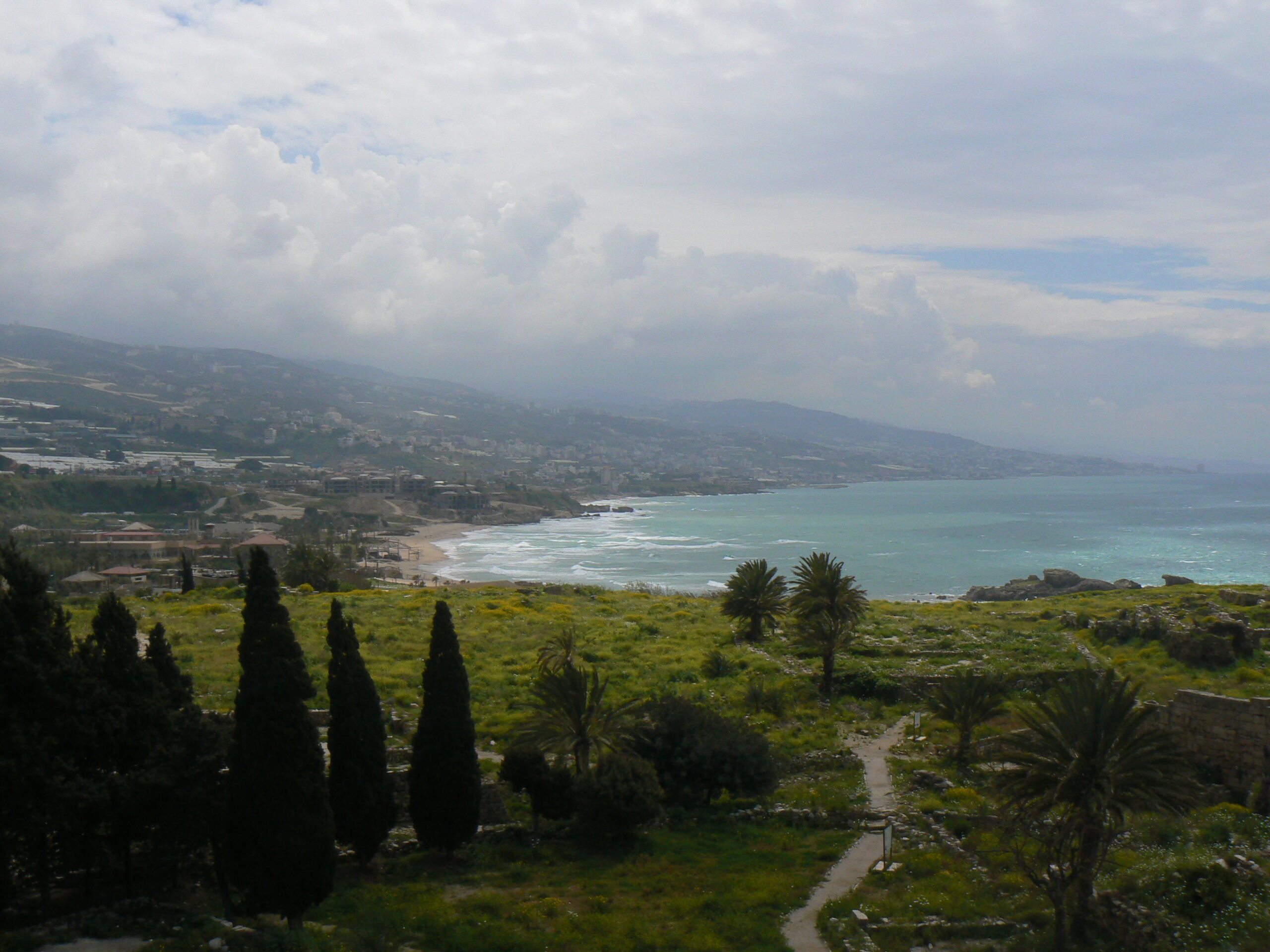
Spool forward to the early 1120s and the Crusader States had grown considerably. In the south, the kingdom of Jerusalem (the largest Crusader State) controlled much of the Levantine coastline from Beirut in the north, down to Jaffa in the south, extending inland beyond the Jordan river. In the north, the principality of Antioch, county of Tripoli, and county of Edessa were also major powers, despite a serious defeat suffered by Antioch in 1119. Most of the coastline, complete with its major commercial ports, lay under their control and increasingly they turned their attention inland.
Subscribe to our quarterly newsletter
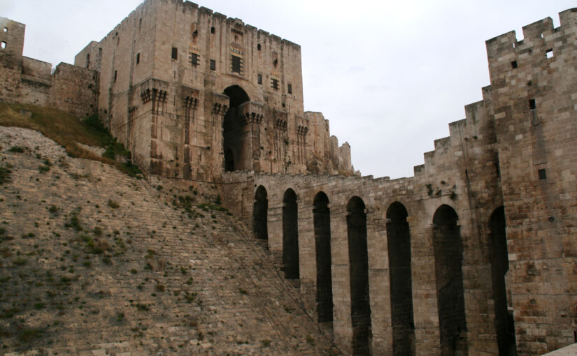
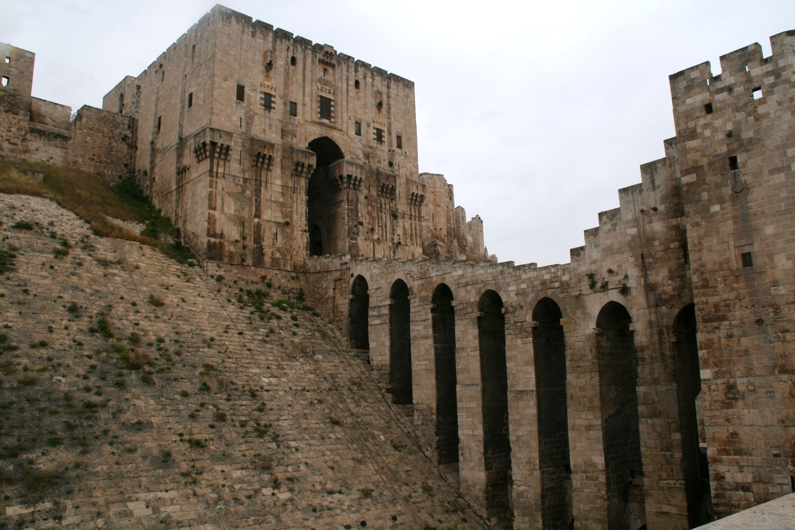
This is where they faced the biggest obstacles to their continued expansion. Frankish armies couldn’t seize Syria in its entirety without tackling the fortress cities of Damascus or Aleppo, and they couldn’t expand into Egypt without conquering Cairo. Over the next five decades the Franks made serious attempts to seize each of these cities: Aleppo in 1124-5, Damascus in 1129 and 1148, and Cairo in 1168, but they failed each time. What I’m describing here is their high-water mark, the culmination point – the line beyond which they proved unable to expand.
So why were they so consistently unsuccessful? Why couldn’t they capture these cities? When historians discuss the conquest of major castles or cities, they typically talk about these strongholds’ fortifications and the siege weapons used to tackle them. But with big cities, there is another point to consider – the urban populations themselves. These were all very large cities, home to tens of thousands of people – in Cairo’s case possibly hundreds of thousands – far bigger than anything they had tackled so far. There was every danger that a besieging army would fight its way across the ramparts only to be cut to pieces by the population as the attacking Franks became split up within a maze of narrow streets and alleyways. This was a serious concern. Notably when the Turkish ruler Zangi besieged Damascus in 1139, insiders offered to open one of the gates for him, but he still refused to order the attack; seemingly he knew very well that the population would resist his attempts to take control and they – not the fortifications – were the major obstacle.
In this way, the conquest of these cities – and therefore the continued expansion of the Crusader States – hinged on the Franks’ ability to persuade urban populations either to endorse, or at least to tolerate, the idea of Frankish rule. For cities of this size, simple military overthrow wasn’t sufficient to guarantee their control in the long run. Some Frankish commanders recognised this reality and, when King Baldwin II of Jerusalem besieged Aleppo in 1124-5 he worked with an Arab ruler named Dubays who he planned to install as a client ruler in the event of the city’s fall. Unfortunately for them, Aleppo’s population didn’t favour the idea of Dubays as their new client ruler and they resisted their besiegers vigorously (and successfully). Likewise, in 1129 Baldwin II tried to conquer Damascus with assistance from the city’s Nizari community (commonly known today as the “Assassins”), but the city’s governor massacred the Nizaris before the Frankish army could arrive. The Franks were less effective at winning the population’s support in their later endeavours but in every case, the broad consensus among the general population remained a vital consideration.
In this way, a decisive factor for the Crusader States in the continued efforts to expand – and a central reason for their failure in these endeavours – were their unsuccessful efforts to gain control over these major cities. Their failure, by extension, enabled resistance to gather in these cities and, in later decades, these regional capitals acted as marshalling points for the Crusader States’ overthrow.